UN
74 Mabledon Avenue
£ 272,000
Description
We don't have a Description for this property.
- Bedrooms
- 4
- Bathrooms
- 0
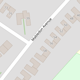


Leaflet © OpenStreetMap contributors
The heatmap indicates the level of crime in the area. The color of the heatmap indicates the crime severity and recency.
Metrics Year-on-Year
- Average area value
- 278,019.00 £Increased by 21.15 %
- Average area rental value
- 919.00 £/moDecreased by 8.01 %
- Est rental Yield
- 3.97 %Decreased by 23.95 %
- Crime Rate
- 1.00 %Unchanged by 0.00 %
from 229,480.00 £
from 999.00 £/mo
from 5.22 %
from 1.00 %
Nearby Schools
| Name | Type | Ofsted | Distance |
|---|---|---|---|
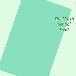
| The North School | Academy Converter | 0.29 KM | |
| Cornfields School | Other Independent Special School | Good | 0.65 KM |
| Ashford School | Other Independent School | 0.83 KM | |
| The Norton Knatchbull School | Academy Converter | Good | 0.87 KM |
| Waterside Children'S Centre | Children's Centre | 1.02 KM |
Images
Nearby Streets
| Name | Average Price | Average Sqft | Distance |
|---|---|---|---|
| Mill Court | £ 0 | 0 | 0.00 KM |
| Newtown Road | £ 0 | 0 | 0.00 KM |
| Newtown Road | £ 0 | 0 | 0.00 KM |
| Kimberley Way | £ 0 | 0 | 0.00 KM |
| Ellison Close | £ 0 | 0 | 0.00 KM |
Nearby Transport
| Name | NLC | TLC | Distance |
|---|---|---|---|
| Ashford International | 5004 | AFK | 0.77 KM |
| Wye | 5031 | WYE | 6.85 KM |
| Ham Street | 5037 | HMT | 8.99 KM |
Nearby Listings
| Address | Price | Type | Score | Distance |
|---|---|---|---|---|
| Birling Road, Ashford | £ 335,000 | BUY | 7 / 10 | 0.19 KM |
| Mill Court, Ashford, TN24 | £ 300,000 | BUY | 7 / 10 | 0.21 KM |
| Linden Road, Ashford, Kent, TN24 | £ 295,000 | BUY | 7 / 10 | 0.23 KM |
| Birling Road, Ashford | £ 265,000 | BUY | 6 / 10 | 0.24 KM |
| Linden Road, Ashford | £ 275,000 | BUY | 6 / 10 | 0.25 KM |
Nearby Properties
| Address | Price | Distance |
|---|---|---|
| 51 Mabledon Avenue | £ 45,000 | 0.00 KM |
| 70 Mabledon Avenue | £ 315,000 | 0.00 KM |
| 88 Mabledon Avenue | £ 325,000 | 0.00 KM |
| 47 Mabledon Avenue | £ 101,000 | 0.00 KM |
| 74 Mabledon Avenue | £ 272,000 | 0.00 KM |